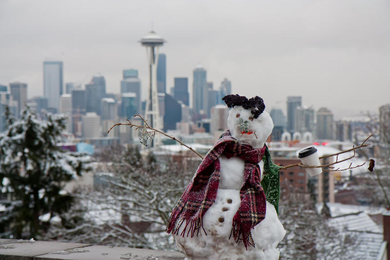
Extreme winter weather for Puget Sound 2019-2020: should we anticipate a lot of snow again? Multiple 2019-2020 regional forecasts are available and there is little agreement.

Experts Say?
NOAA says warmer on average temperatures should be expected throughout the winter everywhere but the upper Midwest and expects precipitation in Washington to be typical. Similarly, Accuweather is calling for a milder winter for western Washington, noting 20-40% less snowfall on average for the Pacific Northwest.
The Farmer’s Almanac is telling us to prepare for cold temperatures and typical precipitation.
Its very similarly-named longtime competitor, the Old Farmer’s Almanac is predicting a “snow-verload.”Seattleweatherblog.com is also calling for lots of snow and suggests it will happen because of a periodic ridge of atmospheric high pressure over the Pacific, which may continue to be an occasional presence potentially all winter. It sends Canadian air southward into Washington: the same weather scenario that brought abundant snow and school transportation headaches last February
Why anticipate the pattern may repeat this winter? It has already been witnessed multiple times since September 2019. Trends may break but they tend to be trends for important synoptic-scale atmospheric and oceanic/atmospheric reasons.
Snow storms manifest more frequently in the Pacific Northwest during El Niño near-neutral years largely due to the occasional block in the Pacific. In fact, the biggest flood and snow years tend to happen on near-neutral ENSO years. What is known about the effects of La Niña and El Niño helps guide seasonal forecast models. Those clues disappear during near-neutral conditions, when allowance for extremes is enhanced and seasonal forecast model inadequacy is best demonstrated. Forecast model inadequacies can be due to limitations in available initial condition data and either errors or oversimplifications in applied model calculations.
This article was written by Meteorologist Geoff Linsley